Gunjan Barua, Ph.D.
AI in Natural Resources | Applied GeoAI Scientist | Climate Tech
I am a GeoAI and Remote Sensing Scientist with a deep interest in how machine learning and geospatial intelligence can help us understand, manage, and protect natural systems. My expertise lies at the intersection of precision forestry, remote sensing, LiDAR, and Artificial Intelligence. From advancing yield predictions in Pinus taeda to developing machine learning-based MRV systems for carbon credit marketplaces, my work utilizes advanced spatial algorithms to solve complex environmental challenges.
View the PhD dissertation in a dashboard
Recent Updates
-
Defended my PhD dissertation titled "Advancing Yield Predictions in Pinus taeda (L.): An Artificial Intelligence (AI) Approach Leveraging LiDAR-derived Individual Tree Crown (ITC) Metrics, Competition Indices (CI), and Satellite Remote Sensing Indices" at the Fralin Auditorium. Officially a doctorate! Read the update
-
Presented a poster at the OGIS Symposium based on the 2nd chapter of my dissertation, titled "Temporal Transferability Assessment of Individual Tree Volume in Pinus taeda (L.) Using Single-Date UAV-LiDAR and Machine Learning", and won the 2nd Prize!
-
My paper - 'Static Maps, Dynamic Threats: Re-evaluating U.S. Wildfire Risk with Spatiotemporal Clustering' accepted for publication at the Natural Hazards journal
-
My paper, titled 'Single-date LiDAR acquisition accurately predicts the yield of Pinus taeda (L.) over a 7-year timespan using machine learning' submitted to the Journal of Forestry Research
-
Presented my research titled 'Scalable Yield Forecasting for Loblolly Pine Plantations Using UAV-LiDAR and Machine Learning' at Remote Sensing seminar at Virginia Tech.
Education & Technical Skills
Education
Ph.D. in Geospatial and Environmental Analysis
Virginia Tech · Blacksburg, VA
Spring 2026
Dissertation: [Advancing Yield Predictions in Pinus taeda (L.): An AI Approach Leveraging LiDAR and Satellite Remote Sensing Indices](https://gunjan-phd-dissertation.streamlit.app/)
M.S. in Geography
Virginia Tech · Blacksburg, VA
Spring 2023
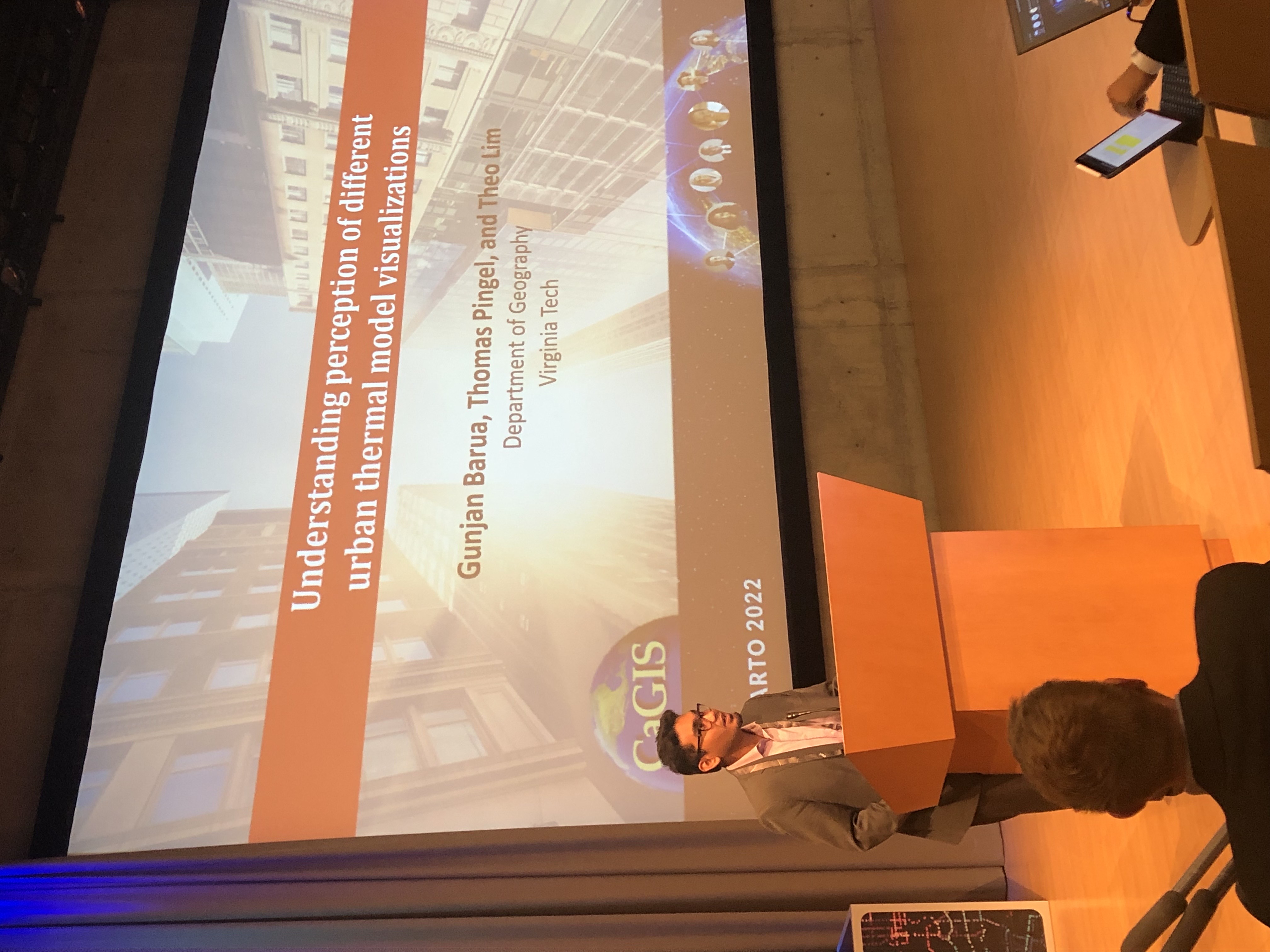
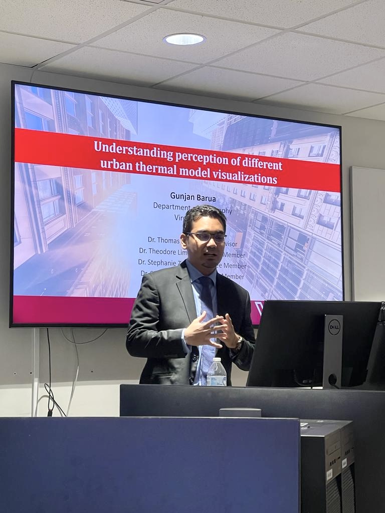
Thesis: Understanding perception of different urban thermal model visualizations
Graduate Certificate in Geospatial Information Technology
Virginia Tech · Blacksburg, VA
2022
B.S. in Urban & Regional Planning
Khulna University of Engineering & Technology (KUET) · Bangladesh
2016
Technical Skills
Machine Learning & AI
Geospatial & Remote Sensing
Programming & Tools
Professional & Research Experience
Summer Research Assistant
Forest Productivity Cooperative (FPC) & Michigan State University
Developed an automated workflow that transforms handwritten forestry field sheets into structured digital spreadsheets, eliminating manual data entry. Built a financial assistant that automatically extracts and tags key receipt details, streamlining the accounting process.
Graduate Research Assistant
Virginia Tech – Department of Forest Resources and Environmental Conservation
Incorporating active and passive remote sensing (optical/SAR satellite data, airborne and terrestrial LiDAR) in AI/ML frameworks to predict Loblolly Pine (Pinus taeda) yield in the Southeast United States. Research contributes to the Forest Productivity Cooperative (FPC) and involves field data collection, point cloud processing, and model development using Python and R. Assessing the generalizability and transferability of the developed models.
Technical Advisor
CarboBon – Measuring Forest Protection
Developed an innovative Monitoring, Reporting, and Verification (MRV) system for real-time forest surveillance using machine learning and remote sensing. Contributed to creating Bangladesh's first-ever carbon credit marketplace by transforming climate action into quantifiable science. Leading research on new AI and remote sensing methodologies, and developing an API for calculating Scope 1 and Scope 2 emissions for corporate companies.
GIS Developer Intern
GFR Forestry Consultants PLLC
Revised and updated the company's forest and business operation dashboards, optimizing them on ArcOnline for improved efficiency and usability. Pioneered workflow automation by integrating Survey123, Microsoft Power Automate, and ArcOnline maps to streamline tasks. Improved the structure and performance of hosted layer databases in ArcOnline using the ArcGIS API for Python.
Research Assistant
Virginia Tech – Department of Forest Resources & Environmental Conservation
Explored and analyzed airborne LiDAR data and satellite imagery to understand complex forest structures. Applied geospatial analysis and machine learning methods to analyze forest productivity.
Summer Research Assistant
Virginia Tech – Department of Forest Resources & Environmental Conservation
Determined forest productivity based on bedding orientation using LiDAR data and Google Earth Engine. Produced a scalable product accompanied by a detailed protocol, along with Python and JavaScript code.
Instructor, Advanced Remote Sensing
Virginia Tech – Department of Geography
Served as Instructor for Advanced Remote Sensing across three semesters (Fall 2021, Spring 2022, and Fall 2022) with a total enrollment of 232 students. Responsible for teaching and supervising lab sessions, grading assignments, consulting on class projects, holding office hours, and designing and conducting course assessments.
Summer Research Assistant
Virginia Tech – School of Public and International Affairs
Collected and processed thermal drone data across multiple locations in Blacksburg and Roanoke, VA. Built high-resolution thermal models to analyze and understand communities’ heating experiences at a small scale.
Graduate Researcher
Virginia Tech – Near Earth Imaging Lab, Department of Geography
Collected thermal data using UAVs and applied photogrammetry to build high-resolution thermal models. Developed a new thermal visualization method by combining optical satellite imagery and LiDAR data to create shaded thermal images. Conducted a perception study using PsychoPy and analyzed experimental data using Python and JMP.
Graduate Teaching Assistant
Virginia Tech – Department of Geography
Supported courses including Geography of Wine (Spring 2021), Advanced Geovisualization (Spring 2022), and Advanced Analysis in GIS (Fall 2022) for over 700 combined students. Led weekly lab sessions, held office hours, graded coursework, and consulted with students on class projects.
Policy Advocacy Specialist
Municipal Association of Bangladesh
Managed a $350,000 portfolio and oversaw the field implementation of project activities, facilitating capacity building for municipality staff. Maintained liaisons with the Local Government Engineering Department and key stakeholders to draft a national WASH action plan and prepare a 10-year sanitation strategy for five municipalities.
Documentation Officer
Practical Action, Bangladesh
Managed a $500,000 communications portfolio, pitched advocacy agendas, and prepared comprehensive communications and campaign plans. Coordinated social mobilization, BCC campaigns, and project report writing, while producing policy briefs and data visualizations. Conducted research for policy analysis and business development.
Freelance GIS Analyst
Elance-Odesk
Prepared maps based on spatial analysis and geospatial data, and conducted topological, hydrological, and transportation modeling. Authored research reports and conducted targeted spatial analysis for the utilities, health services, real estate, and transportation industries.
Intern
Asian Disaster Preparedness Center
Conducted spatial analysis for a large geo-database and prepared a research report on the social vulnerability index. Drafted a comprehensive report for an earthquake research project focused on Dhaka city.
Publications, Presentations & Awards
📄 Publications
Static Maps, Dynamic Threats: Re-evaluating U.S. Wildfire Risk with Spatiotemporal Clustering
Single-date LiDAR acquisition accurately predicts the yield of Pinus taeda (L.) over a 7-year timespan using machine learning
🎤 Presentations
Crowns, Competition, and Continuity: A Machine Learning Approach for Annual Yield Prediction of Pinus taeda (L.) Using UAV-LiDAR Data
AGU 2025 (Poster Presentation) · New Orleans, Louisiana, United States
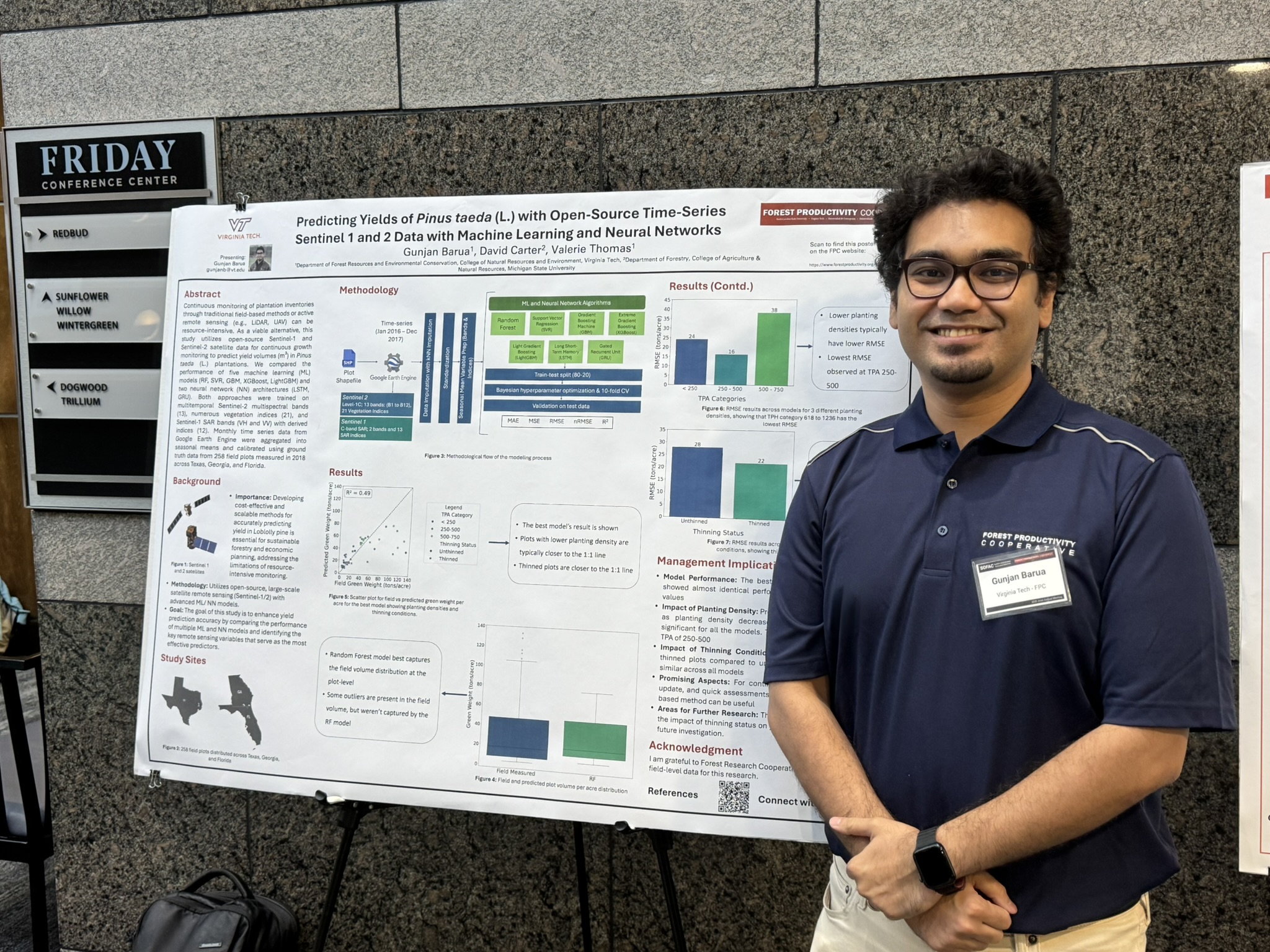
Predicting Yields of Pinus taeda (L.) with Open-Source Time-Series Sentinel 1 and 2 Data with Machine Learning and Neural Networks
Forest Productivity Cooperative Annual Meeting (Poster Presentation) · Chapel Hill, North Carolina, United States
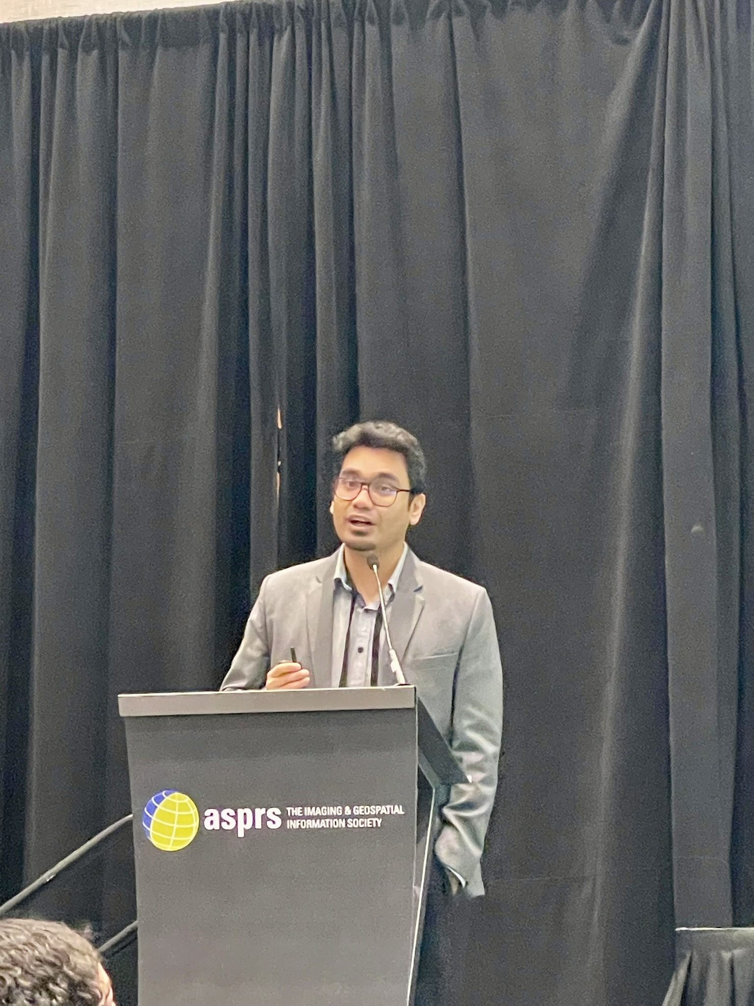
Advancing Growth and Yield Predictions for Pinus taeda (L.) Plantations: Integrating LiDAR-Derived Metrics and Machine Learning Models Across Diverse Sites
ASPRS Annual Conference at Geo Week 2025 · Denver, CO, United States
Comparison and Analysis of Spatial and Spatiotemporal Clustering of Wildfires in the United States of America
2025 Young Scholar Symposium on Spatiotemporal Data Science, Spatial Data Lab · Virtual
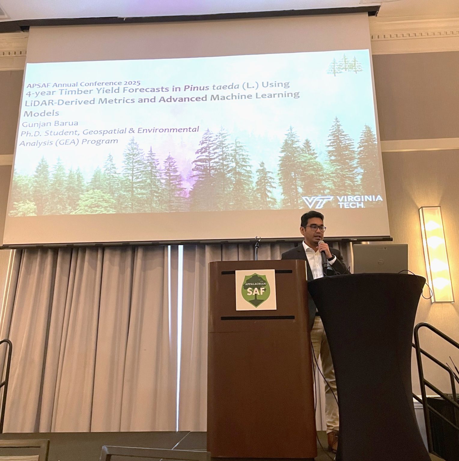
4-Year Timber Yield Forecasts in Pinus taeda (L.) Using LiDAR-Derived Metrics and Advanced Machine Learning Models
2025 APSAF Annual Conference · Wilmington, NC, United States
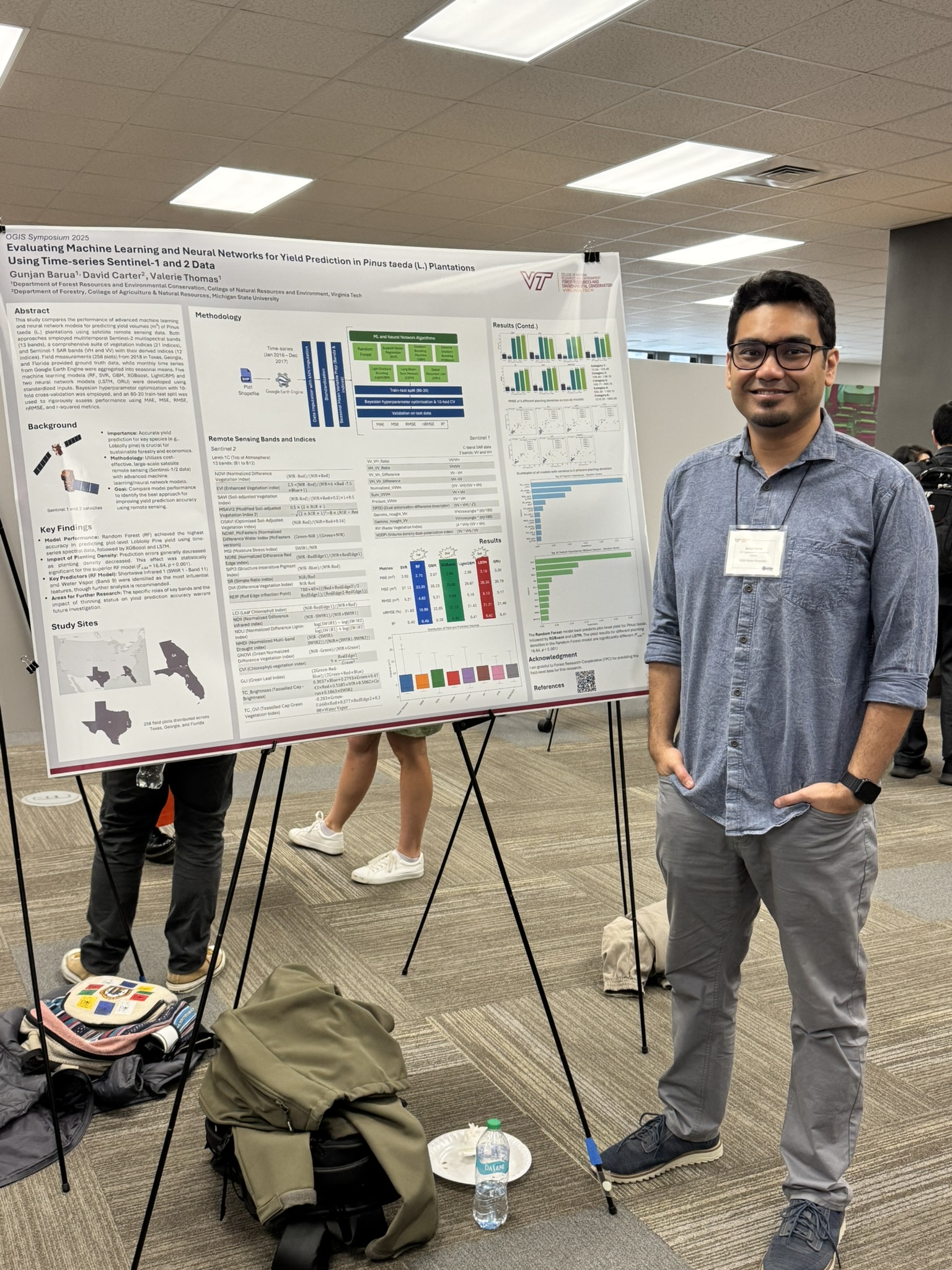
Evaluating Machine Learning and Neural Networks for Yield Prediction in Pinus taeda (L.) Plantations Using Time-series Sentinel-1 and 2 Data
OGIS Symposium 2025 (Poster Presentation) · Blacksburg, VA, United States
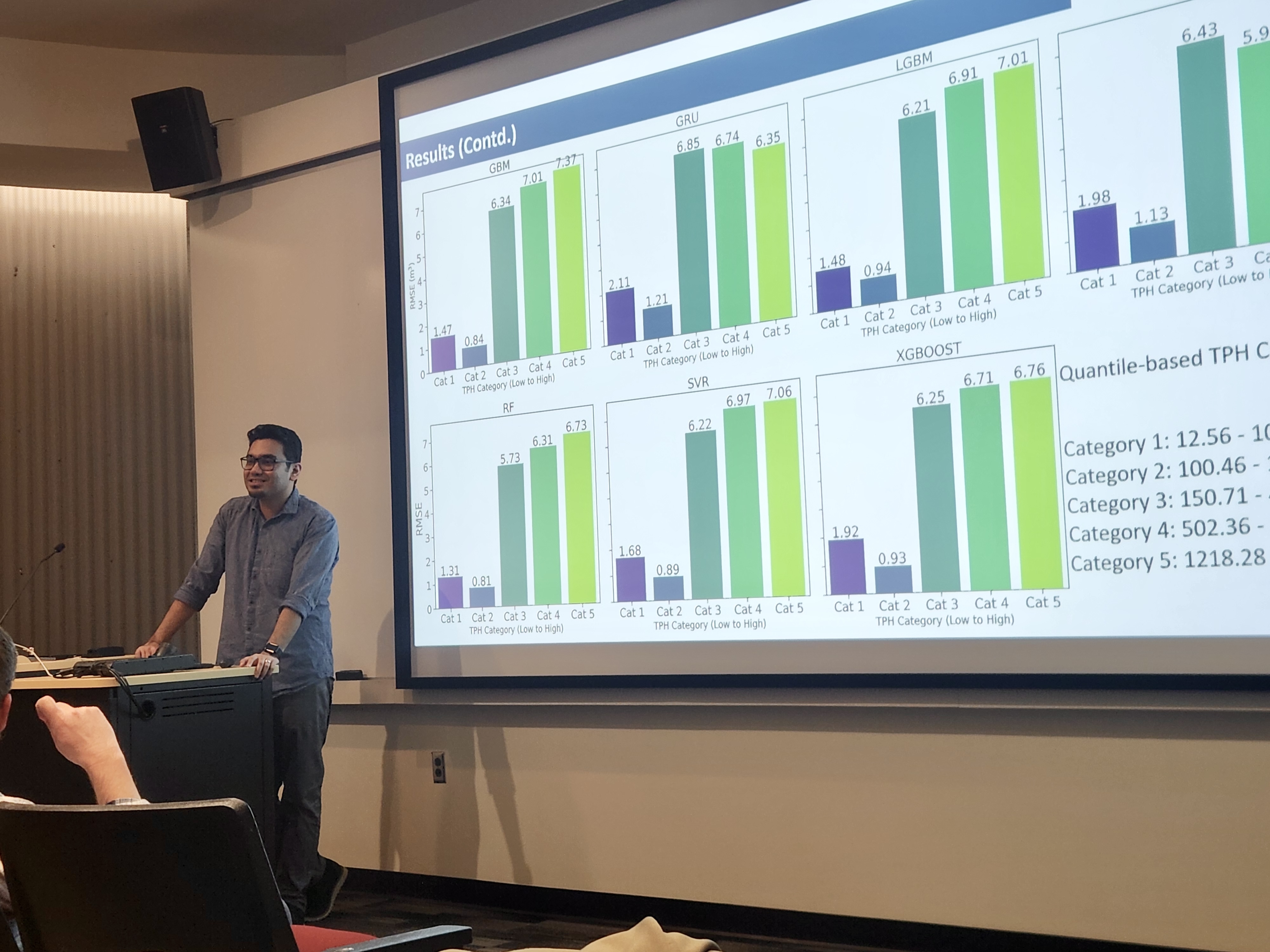
Scalable Yield Forecasting for Loblolly Pine Plantations Using UAV-LiDAR and Machine Learning
Forest Modeling Research Cooperative (FMRC) Annual Meeting 2025 (Invited Speaker) · Blacksburg, VA, United States
Predicting yield of Pinus taeda (L.) using LiDAR data in random forest and support vector machine models
Weyerhaeuser Virtual Seminar (Invited Speaker) · Virtual
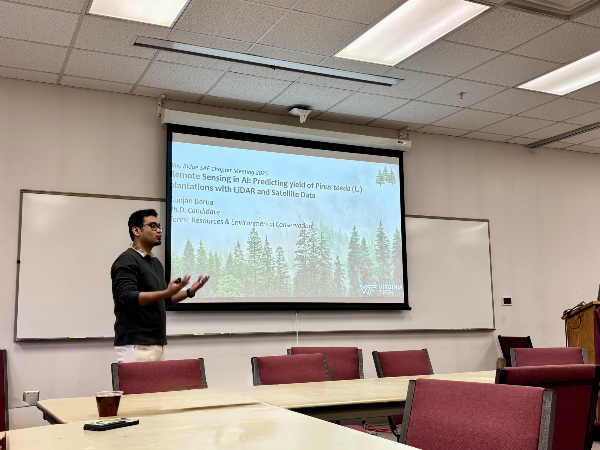
Remote Sensing in AI: Predicting yield of Pinus taeda (L.) plantations with LiDAR and Satellite Data
Blue Ridge SAF Chapter Meeting 2025 (Invited Speaker) · Blacksburg, VA, United States
Remote Sensing Meets AI: Predicting Yield in Pinus taeda (L.) Plantations with Open-Source Time-Series Satellite Data
FREC Spring Seminar · Blacksburg, VA, United States
Advancing Yield Predictions for Pinus taeda (L.) Plantations: Integrating Lidar-Derived Metrics and Machine Learning Models Across Diverse Sites
Seminar in Remote Sensing and GIS, Virginia Tech · Blacksburg, VA, United States
Predicting Urban Heat Island Effect in Phoenix, Arizona for 2026
ESRI Federal GIS Conference · Washington, D.C., United States
Bedding Orientation Impact Analysis and Tree Row Detection in Pine Plantations: Insights from Lidar, Remote Sensing, and Machine Learning
Forest Productivity Cooperative Annual Meeting 2023 (Poster Presentation) · Blacksburg, VA, United States
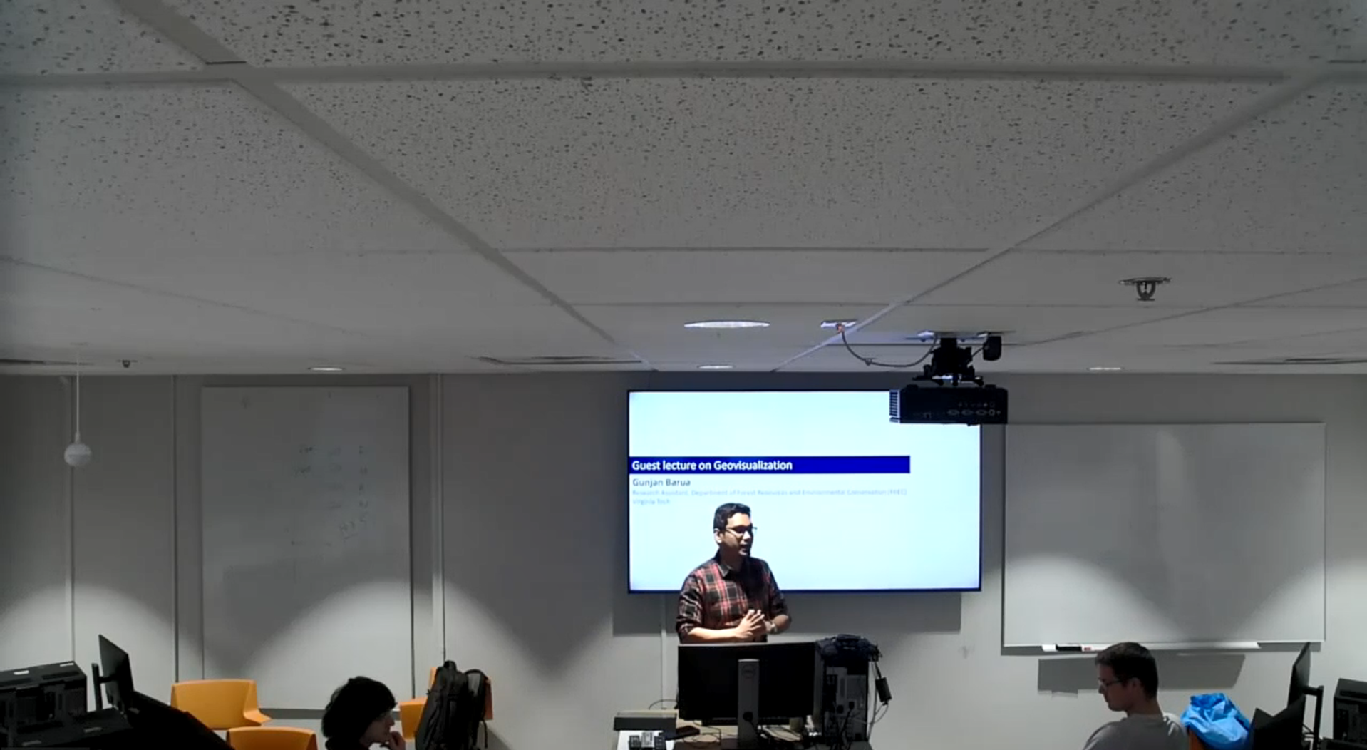
Guest lecture: Advanced Geovisualization class
Department of Geography, Virginia Tech · Blacksburg, VA, United States
Past, present, and future of endangered languages
Academic Panel, Virginia Tech (Session Moderator) · Blacksburg, VA, United States
Understanding perception of different urban thermal model visualizations
AutoCarto 2022 · Redlands, CA, United States
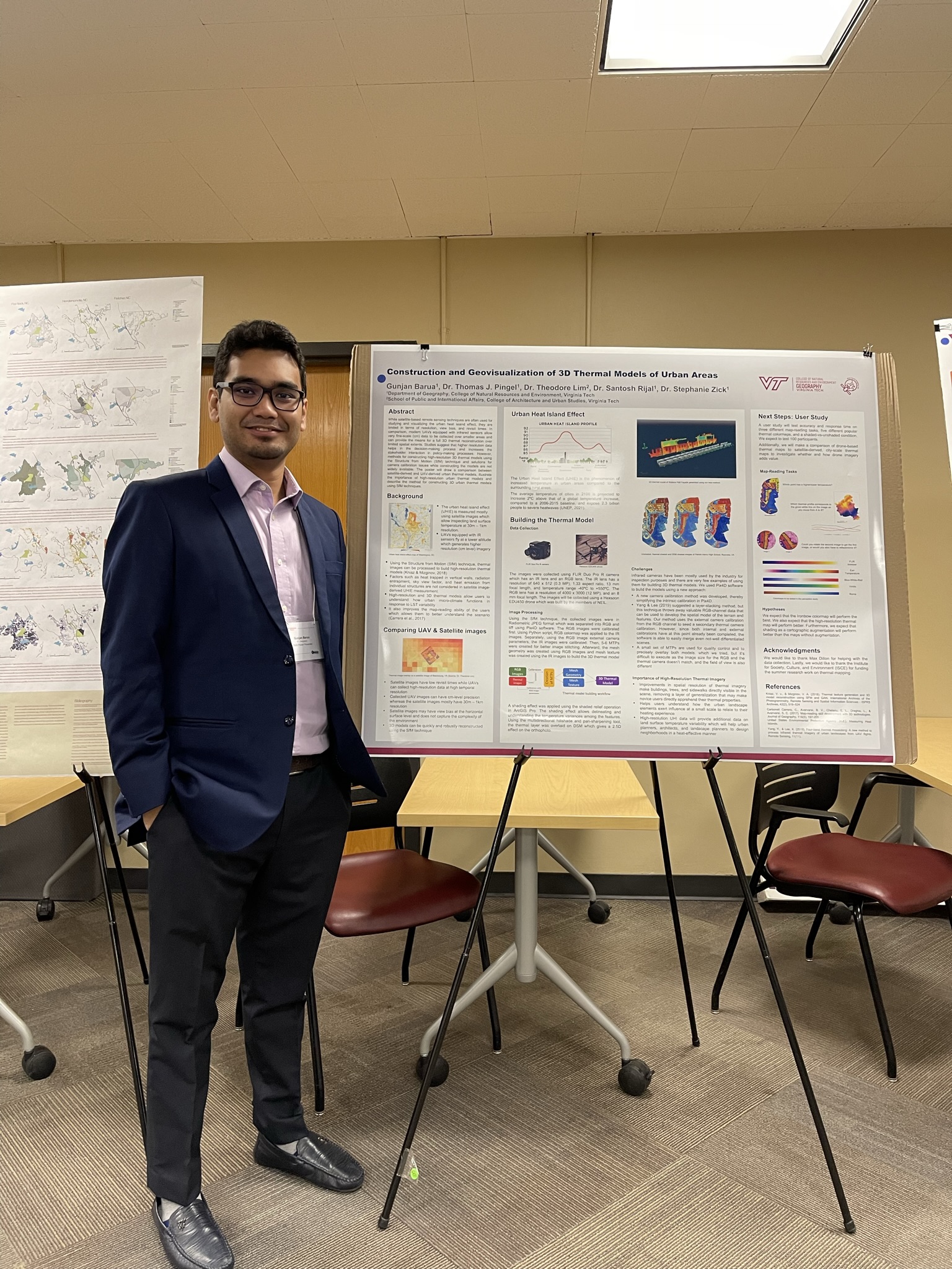
Construction and Geovisualization of 3D Thermal Models of Urban Areas
OGIS Symposium 2022 (Poster Presentation) · Blacksburg, VA, United States
Interested in attending Graduate School?
Graduate School Panel Discussion, College of Natural Resources and Environment (CNRE) (Panelist) · Blacksburg, VA, United States
Paving the enabling environment towards urban sanitation solutions: The journey of local government associations from South Asia
5th South Asian Cities Summit (Session Moderator) · Goa, India
The Treasure Hunt: An organized movement with society to turn waste into wealth
4th FSM Conference (Poster Presentation) · Chennai, India
Role of Stakeholders in Managing School Solid Wastes of Khulna City
WasteSafe 2015 – 4th International Conference on Solid Waste Management in the Developing Countries · Khulna, Bangladesh
🏆 Awards & Honors
Best Student Presentation Award
APSAF Annual Conference, Wilmington, NC
APSAF Student Scholarship
Appalachian Society of American Foresters (APSAF)
KP Funderburke Education Endowment
Appalachian Society of American Foresters (APSAF)
Department of Geography Grad Fund for Conference ($350)
Department of Geography, Virginia Tech
CNRE Graduate Student Travel Grant ($600)
Virginia Tech
Graduate and Professional Student Senate Travel Award ($500)
Virginia Tech
Department of Geography Grad Fund for Conference ($350)
Department of Geography, Virginia Tech
Graduate and Professional Student Senate Travel Award ($500)
Virginia Tech
ICA Scholarship
International Cartographic Association (ICA)
Sigma Xi Research Award
Sigma Xi - The Scientific Research Honor Society, Virginia Tech Chapter
1st Prize for Graduate Poster Presentation
Organization of Geographic Information Systems and Remote Sensing Research (OGIS)
Sidman P. Poole Endowment ($1,150)
Department of Geography, Virginia Tech
Graduate and Professional Student Senate Travel Award ($300)
Virginia Tech
CNRE Graduate Student Travel Grant ($600)
Virginia Tech
Department of Geography Grad Fund for Conference ($350)
Department of Geography, Virginia Tech
Georgia Pacific Fellowship Award
Department of Geography, Virginia Tech
Technical Merit Scholarship
Khulna University of Engineering & Technology
Gallery
Field work, research outputs, and conference moments.
Get in Touch
Open to research collaborations, speaking invitations, and consulting opportunities.